Cart
0
Product
Products
(empty)
No products
To be determined
Shipping
0,00 €
Total
Prices are tax excluded
Product successfully added to your shopping cart
Quantity
Total
There are 0 items in your cart.
There is 1 item in your cart.
Total products
(tax excl.)
Total shipping (tax excl.)
To be determined
Total
(tax excl.)
My Products
VARs for S-63 charts
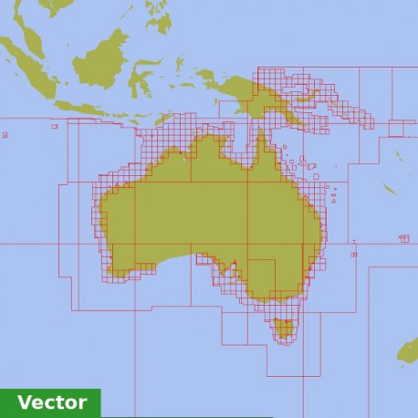
Australian Vector Charts 2024
AU
To get the download link you need to follow some extra steps after ordering your charts. Please, read the manuals before purchasing.
Fishing zones for the relevant Marine Parks along the Queensland coast are available with "qld-coastal-zones" and Draw Plugin.
Read MORE INFO for details.
Data sheet
| Edition | 2024/1-7 |
| Publication Date | 2024-04-15 |
| Files | AU |
| Allowed Installations | 2 |
More info
qld-coastal-zonesby Dave, "redog666" |
|
|
| Australian hydrographic charts do not distinguish visually the different Marine NationalParks (Green), Habitat Protection (Blue), Conservation (Yellow), Scientific Research (Orange) or Preservation (Pink) zones. The aim of this project is to make available .gpx files that are usable as a layer using the ODraw plugin within OpenCPN, which provide complementary information, essential for compliance with regulations in these areas. Draw allows layers to be projected over charts and can be turned on/off with the click of a mouse. These .gpx files have been created from coordinates provided by the QLD Government. The target areas are the Great Barrier Reef Marine Park (GBRMP), Great Sandy Marine Park (GSMP) and Moreton Bay Marine Park (MBMP). The Activities Guide provides information of allowable activities for each zone. |
Downloads:.gpx files
Activities GuideInstallation Guide/Manuals |


